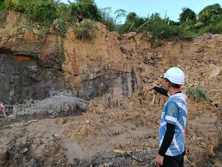
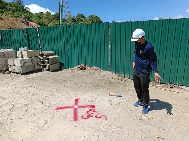
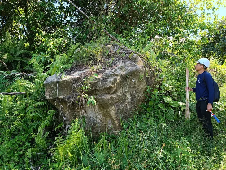
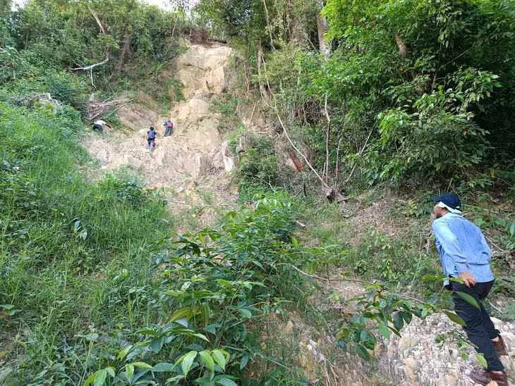
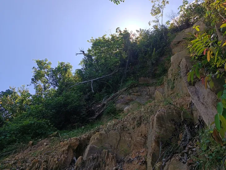
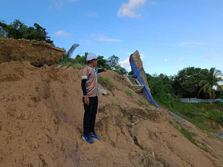
Today, we are at Bukit Nenas in Sandakan, beginning field data collection on slopes displaying signs of distress. We are also marking Ground Control Points (GCP) in preparation for aerial drone mapping. The site is currently under construction for a Transmission Main Intake.
Based on initial field data and mapping, we can preliminarily conclude that the slope stability in this area is significantly influenced by the geological material and groundwater content.
