Geohazard Mapping And Analysis
Integrated mapping and analysis to assess geological hazards.
Our offered services in Geohazard
Geohazard assessments integrate multiple disciplines, including geotechnical data, geomorphology, hydrogeology, geology, geophysical surveys, and LiDAR/Drone imagery. This comprehensive, multi-disciplinary approach helps identify hazardous areas, unstable geological conditions, and potential geohazard features. By combining insights from these diverse fields, assessments pinpoint the exact location and hazardous potential of areas at risk.
These assessments are crucial for predicting geohazard-related risks and formulating strategies to prevent, mitigate, and minimize the impact of unavoidable natural hazards. They focus on identifying threats such as landslides, unstable slopes, debris and mud flows, sediment transport, erosion, faults, and rockfalls.


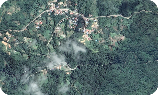
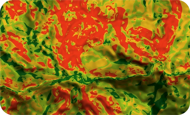
Our mapping and assessment on geohazard.
List of Services
We provide a complete range of mapping and analysis for geohazards in Malaysia. Our range of services and consultation is as follows:
- Geotechnical field data collection
- GIS analysis and data editing for landslides
- Landslide Susceptibility Analysis and Assessment
- Landslide Hazard Analysis and Assessment
- Landslide Element at Risk Analysis and Assessment
- Landslide Vulnerability Analysis and Assessment
- Landslide Risk Analysis and Assessment
- Landslide Risk Reduction
- Geological Terrain Mapping
- Geomorphological Mapping
- Landslide Early Warning System
