Geophysical Services
Utilization of surveys where geology and geophysics are integrated.
Our offered services in Geophysics
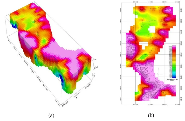
Our services is flexible, easy to use and boasting a number of innovative features the Geophysical Surveys. Our geophysical survey can be suited for for geotechnical, groundwater, mineral or environmental surveys and research work.

Resistivity Survey
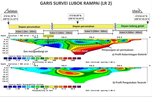
Our company provides high-resolution geoelectrical data acquisition through resistivity and induced polarization. Electrical Resistivity Imaging (ERI) is a non-destructive subsurface investigation method. ERI measures the apparent electrical resistivity of subsurface materials by injecting current into the ground and measuring potential differences. Data from multiple configurations of electrodes is processed to create resistivity contour maps, which help assess subsurface conditions or locate targets based on material composition and water content.
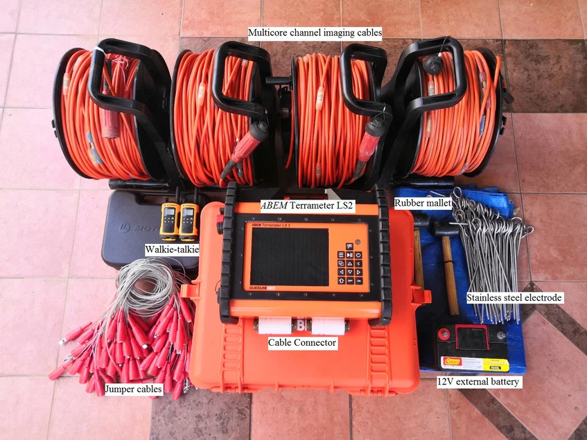
Our company owns Terrameter LS2 set of equipment by ABEM to carry out geoelectrical survey. Data from the equipment will be processed and analysed using RES2DINV software. Interpretations will be made with identifications of the layers of alluvium, bedrock and other geological structures at pseudosection.


